Transform Your Business with Satellite Intelligence
Harness the power of geospatial analytics and satellite data to make data-driven decisions for your business.
Advanced Geospatial Intelligence Platform
Harness the power of cutting-edge satellite technology and AI to transform your business operations
Satellite Imagery
High-resolution optical, SAR, and multispectral imagery with global coverage and frequent updates for precise monitoring.
Explore ImageryAI & Machine Learning
Advanced computer vision and deep learning models for predictive analytics and automated insights generation.
Discover AI SolutionsCloud Platform
Scalable infrastructure for processing and analyzing massive geospatial datasets with enterprise-grade security.
View PlatformReal-time Monitoring
Continuous tracking and instant alerts for critical changes in your areas of interest.
See DemoIoT Integration
Seamless connectivity with ground sensors and IoT networks for comprehensive environmental monitoring.
Learn MoreAnalytics Dashboard
Interactive tools and visualizations to explore and derive insights from complex geospatial data.
View DemoTransforming Industries with Geospatial Intelligence
Leveraging cutting-edge satellite technology and AI to deliver actionable insights across key sectors
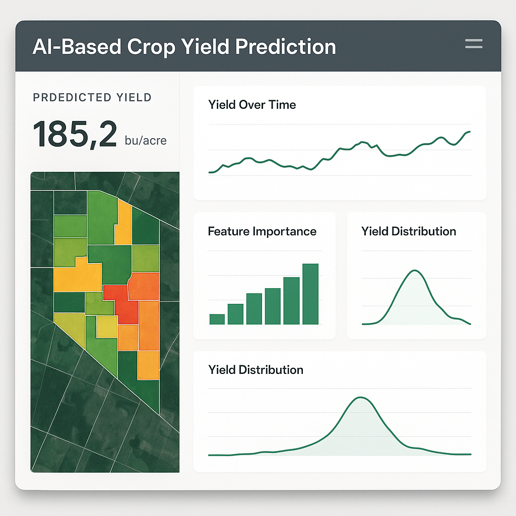
Precision Agriculture
Revolutionize farming with AI-driven crop health monitoring, yield prediction, and resource optimization using multispectral satellite imagery and IoT sensors.
Energy & Utilities
Monitor infrastructure, detect leaks, and optimize energy distribution with our advanced SAR and thermal imaging solutions for the energy sector.
Smart Cities
Enable data-driven urban planning, traffic management, and infrastructure monitoring with real-time geospatial analytics and 3D city modeling.
Environmental Monitoring
Track deforestation, monitor water resources, and detect environmental changes with our comprehensive remote sensing solutions.
Pipeline & Infrastructure
Ensure pipeline integrity and detect potential hazards with our advanced InSAR monitoring and ground movement analysis.
Defense & Security
Enhance situational awareness and border security with high-resolution satellite imagery and AI-powered threat detection.
Don't see your industry? Our solutions are adaptable to various sectors.
Contact Our ExpertsPowerful Tools for Geospatial Intelligence
Our comprehensive platform combines satellite imagery, AI analytics, and intuitive visualization tools to deliver actionable insights.
Global Coverage
Access high-resolution imagery of any location on Earth with frequent updates.
Advanced Analytics
Leverage AI and machine learning for predictive insights and anomaly detection.
Custom Solutions
Tailored analytics and reporting to meet your specific business needs.
What Our Clients Say
Don't just take our word for it. Here's what our clients have to say about our solutions.
OrbixHub's analytics helped us increase our crop yield predictions by 20%, enabling more informed decisions and better resource allocation. The platform's intuitive interface and powerful insights have transformed how we approach agricultural planning.

The real-time monitoring capabilities have been a game-changer for our infrastructure projects. We've reduced response times by 40% and improved safety across all our sites.

As an environmental consultancy, the detailed geospatial data and analysis tools have been invaluable. We can now provide our clients with insights that were previously impossible to obtain.

Ready to Transform Your Business with Geospatial Intelligence?
Join industry leaders who trust OrbixHub for cutting-edge satellite data analytics and actionable insights that drive real business growth.